Originally, the word "navigation" referred only to navigation and meant the art of managing the ship. Over time, navigation and overland vehicles, including cars, arrived. What is satellite navigation and why do you need it?
What is satellite navigation and why do you need it?
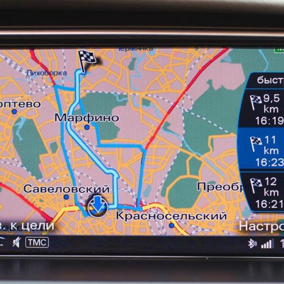
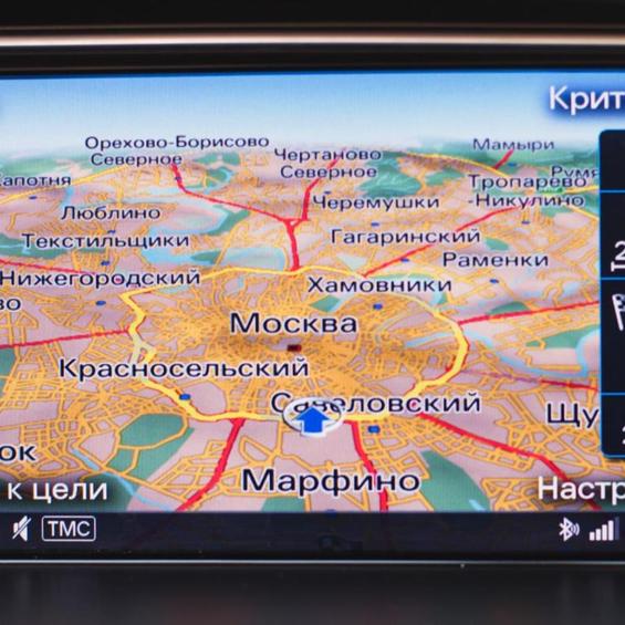
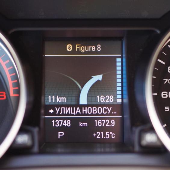
Satellite navigation is a complex of electrical and technical systems, which is a set of ground and air-operated equipment. The system is used to determine the location, time and direction of motion (speed and direction). Simply put, such a system makes it possible to determine where the receiver is located (in this case, the car), to which direction it is moving and at what speed. In addition, the navigator can pre-calculate a route from one point to another, and can carry a car on it, accompanying the movement with voice comments. The function of loading the data on the location of the speed and traffic cams may be available for the modern navigators.
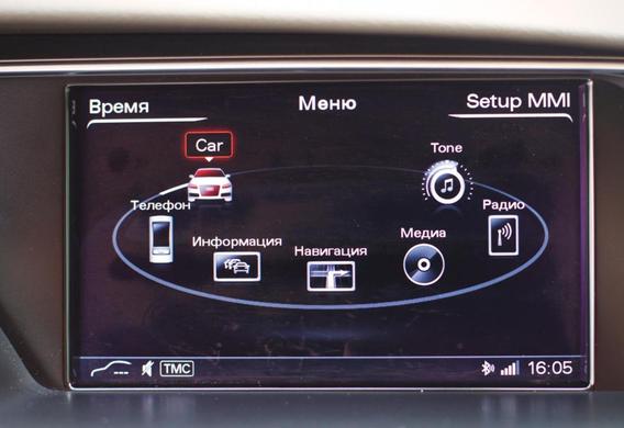
The difference is that offline navigation is not bundled with a car and is purchased separately. Such a navigator has its own power system, processor, and signal receiver. Looses with the display and control panel. The navigation system is the navigation system that the manufacturer sets up in a car on its own. The advantages of the state navigation are that it is fully compatible with all the onboard equipment, integrated into the onboard computer, and usually operates faster offline.
Evolution of road navigation
The prototype of the automobile navigation system appeared in 1920 and was called the Plus Four Routefinder. The uncunning adjustment consisted of a rounded map of the terrain, fixed between two wooden sticks. You have to rotate the "navigator" manually.
After 10 years, the system was improved, and the motorists were given the IterAvto. This time, the card was dockable under the glass embedded in the Navigator. It was moved by a tether, which is used in modern mechanical speedometers. Due to this system, the speed of the scrolling was proportional to the speed of motion. However, the card was still rotated manually when the car was turned on.
The first electronic navigation appeared a long time ago, just 30 years ago. The system was developed by Japanese engineers. The first cars, as an additional option, were the Honda-Acord and Vigor models. The invention of 1981 is the name of Electro Gyrocator. It is noteworthy that Japanese navigation was not related to satellites. To use the navigator, the driver needed to insert a plastic map of the area and move the cursor to its current position. The built-in gyroscope, which determined the direction and speed of the car, was responsible for moving the cursor. The system was not widely distributed due to the high cost of the installation-almost a quarter of the price of Chord itself.
The first satellite navigation system, which was built into the on-board computer, appeared in the Oldsmobile 88 car in 1995. It has already been able to detect and control the position of the car on its own, using the signal from the nearest satellite.
Since then, the absolute majority of manufacturers have installed their own vehicles. The principle of the system's operation has not changed dramatically in recent decades, with an emphasis on improving the speed of communication and increasing the interactive capacity of the user.
It was in the first place, the on-board computer. Increase the size of the display, the quality of the image, and more recently the introduction of sensory control. The electronic "filling" was constantly updated, special operating systems were developed, the place of the CD occupied memory cards and hard drives. For example, the modern BMW 7 series is an almost complete computer: display with resolution 1280x480, its own mobile operating system QNX, and hard disk for 80 hb.
These characteristics allow the "Bavarca" not only to load the cards with a qualitative 3D drawing of the route, but also to download music and play the DVD.
How it works
Navigation systems are working on the principle of measuring the distance between the source and the receiver of the signal. This method is based on the method of transmission of radio waves and the calculation of the speed of their distribution. In order to accurately capture the time that is spent on the transmission of the signal, the atomic clocks synchronized with the system time are used (the characteristic of such hours is that the periodic process uses oscillations caused at the level of atoms and molecules). The next chain is: the clock of the receiver is synchronized with the system time and the delay between each signal cycle and its reception is calculated.

The state of the state navigation receiver is integrated into the onboard computer system and displays the data on the display. In addition to the location of the vehicle and the route of the vehicle, the onboard computer is responsible for the interaction of all electronic systems of the computer, including the parktronic, the acoustic system, the dead zone sensors, etc.

Many modern car navigators not only can carry out an amateur from point A to point B, but also provide information about all the objects on the route. The program's memory contains information about the location of the gas stations, shops, parking areas, cafes and other objects that can be useful during traffic.
Another useful feature of the modern navigation system is the possibility of voice control, which allows you to route or search for an object without removing the control of the car.

Among the main advantages of the state navigation are high accuracy, operational efficiency of the system and lack of delays in transmission of signal and renewal of cards. At the same time, there are also very serious shortcomings in the staff navigation. For example, replacing a full-time navigator can disrupt the operation of the above systems, and the replacement procedure itself is very expensive. The accuracy of the standard navigation cards is not always happy for the user, a common phenomenon is loaded quickly, but the number of houses is not displayed. It is also uncommon for the navigator to shoot down the motorist from the path by offering a completely wrong route. The lack of a navigation system leads to a lack of navigation.


